
About Cumbemayo
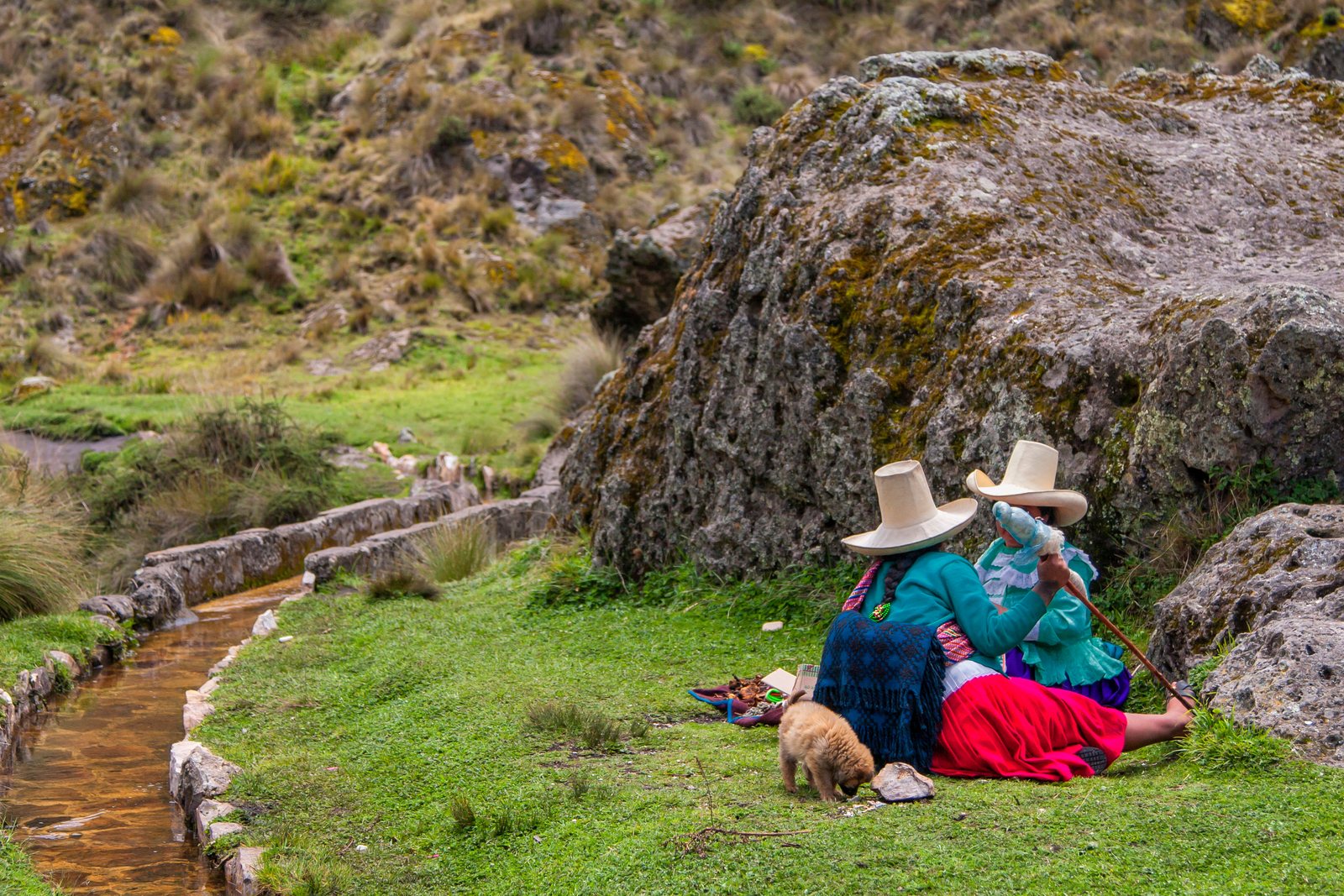
What people remember about it is the corners. The builders squared them off at right angles rather than letting the water run in a curve, and the usual explanation is that the turns slow the current and stop it wearing through the stone. Whether or not that was the intent, the effect is that an engineering decision made three thousand years ago is legible to anyone standing over it. Petroglyphs are cut into the rock along parts of the route. Nobody has fully explained them.
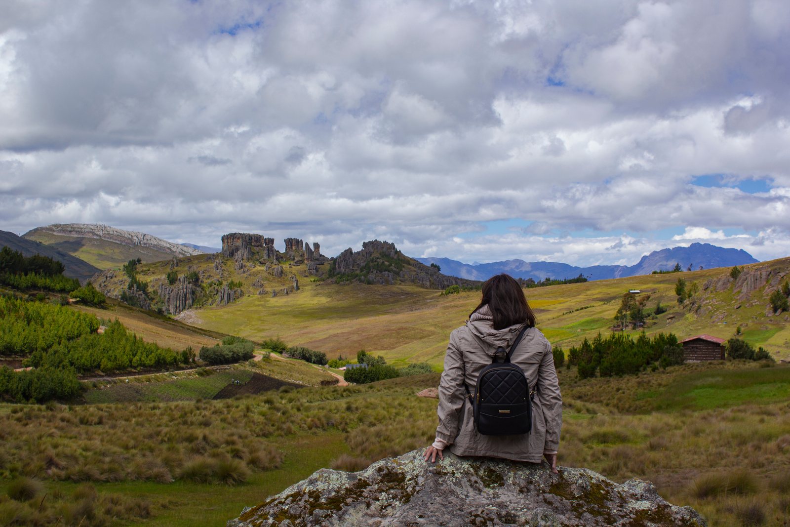
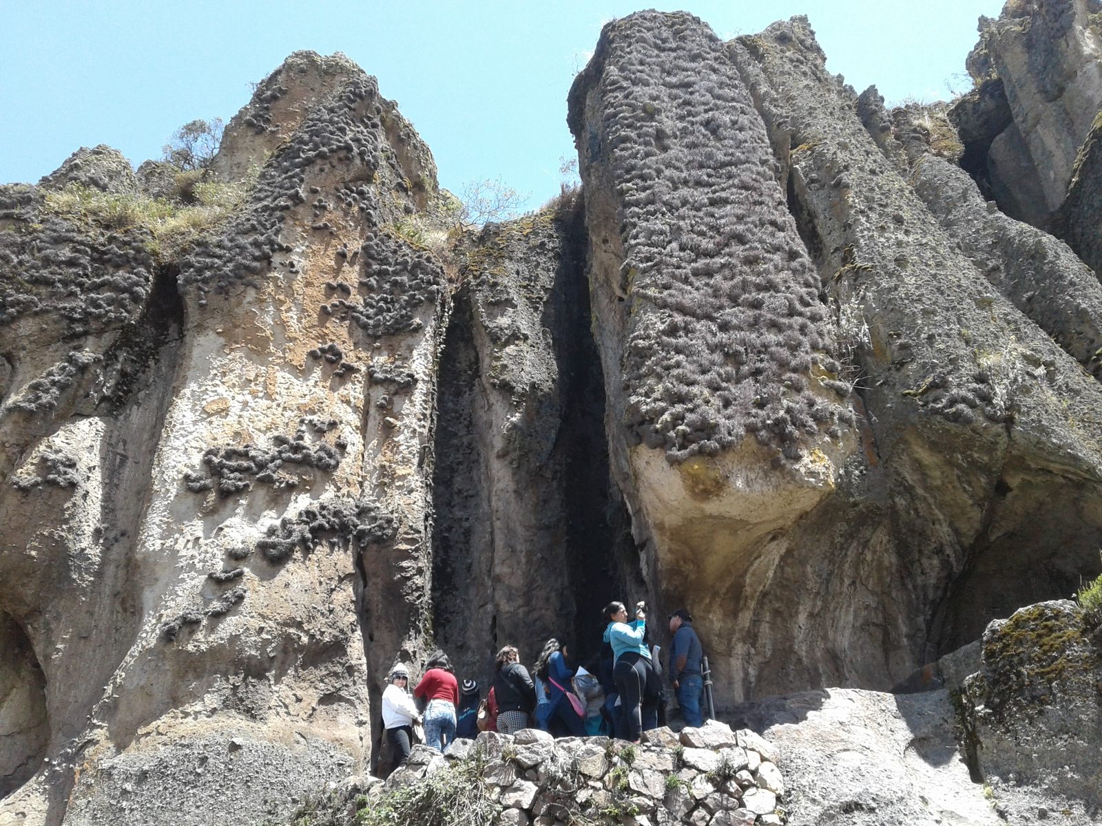
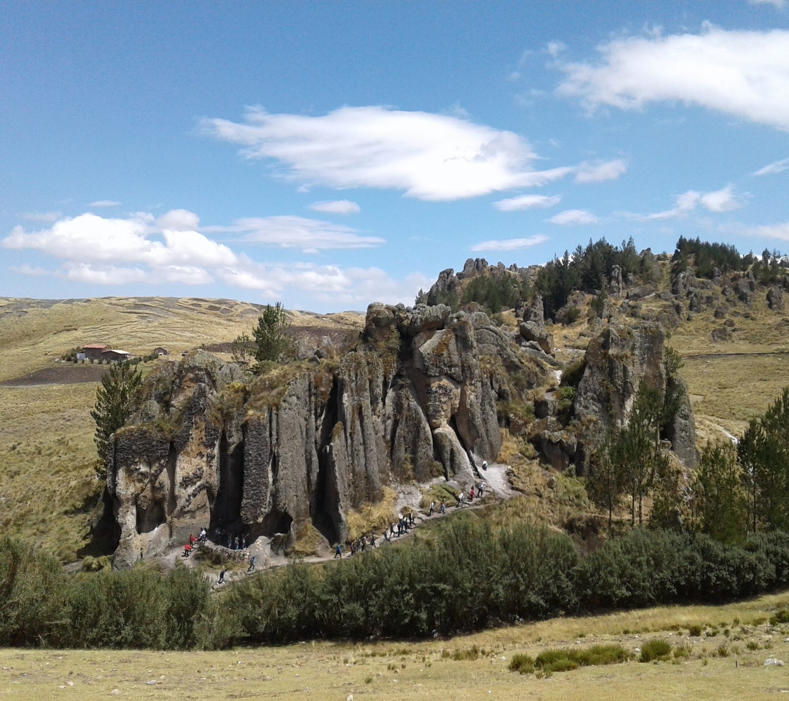
The second thing is the rock itself. The formations are called the frailones, the friars, for the way the weathered columns stand in groups, and the area is generally known as the stone forest. The walk between the two takes you through narrow passages where the rock closes overhead.
Allow four to five hours including the drive. The route is uneven underfoot and much of it is on bare rock, which is the main reason the dry season from May to October is the easier window; in the wet months the same surface is slick. At 3,500 metres this is also the highest most visitors will have been on a first trip to Cajamarca, about 750 metres above the city, so it is worth leaving it until the second or third day rather than the first.
Pre-Inca aqueduct and volcanic rock forest carved into the highlands above Cajamarca.
Cumbemayo is a plateau of eroded volcanic rock at 3,500 metres, about twenty kilometres southwest of the city and roughly an hour up by road. Two things sit on it. The first is the aqueduct: a channel some eight kilometres long, cut by hand into the bedrock around 1000 BC, which moved water from the Atlantic watershed towards the Pacific one. It is older than the Inca by roughly two and a half thousand years, and it still carries water along its original course.
Quick Facts
- Allow
- 4-5 hours
- Best time:
- May to October
- Elevation:
- 3,500 m
- Region:
- Cajamarca
Book Your Visit
We may earn a commission from bookings made through these partners, at no extra cost to you.
Planning a trip to Cumbemayo?
Browse more places in the region or get in touch with questions about visiting Cajamarca.